Summary
In July 2026, MotionInfo's StationKeeper shore stations transmitted AIS safety messages from aids-to-navigation (AtoN) to research vessels underway along the U.S. East Coast. Each vessel's delivery receipt — its acknowledgement / AIS position — was captured back at a StationKeeper receiving station, confirming end-to-end delivery over the vessels' real operating ranges.
Five vessels were reached — four university/state research vessels plus the NOAA Ship Nancy Foster — with receipts confirmed from close aboard out to roughly 15–16 nautical miles. A companion two-way exchange with the training ship TS State of Maine is documented separately.
Vessels Tested
Vessel photos and specifications from each operator's public materials. Click a photo to enlarge.
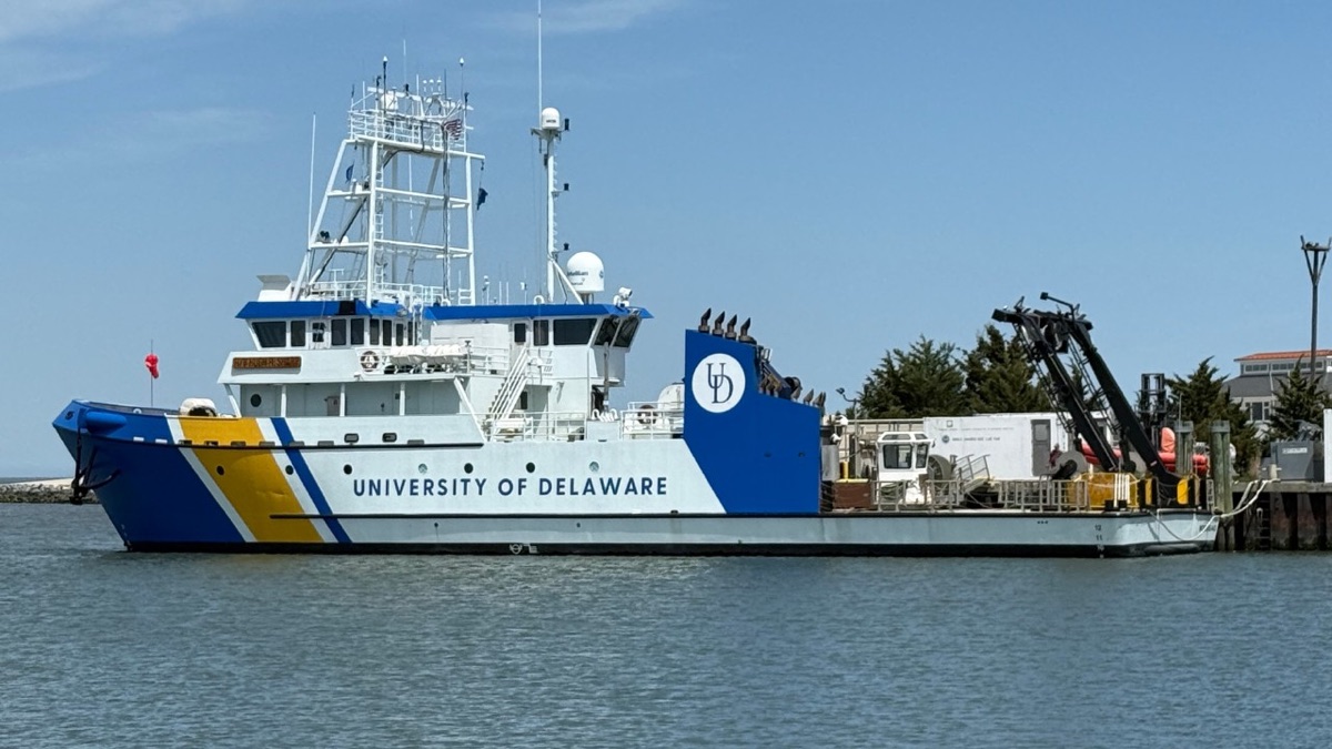
R/V Hugh R. Sharp
University of Delaware · UNOLS regional research vessel · homeport Lewes, DE
- Length146 ft (44.5 m)
- Builder / YearDakota Creek Ind. · 2006
- PropulsionDiesel-electric, Z-drive
- MMSI367063060
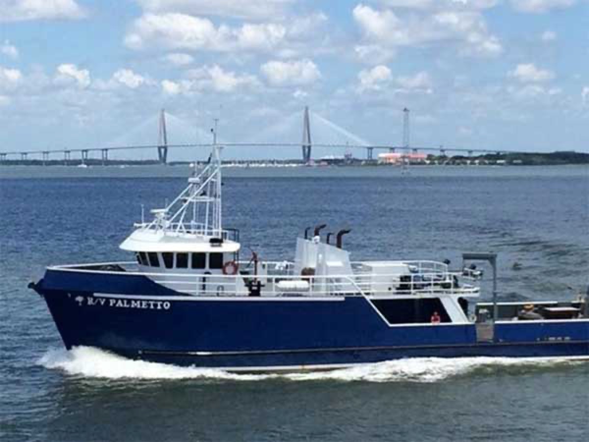
R/V Palmetto
South Carolina Dept. of Natural Resources · offshore fisheries research vessel · Charleston, SC
- Length110 ft
- Hull / PowerSteel · twin Volvo Penta 600 HP
- RoleOffshore marine fisheries
- MMSI338004751
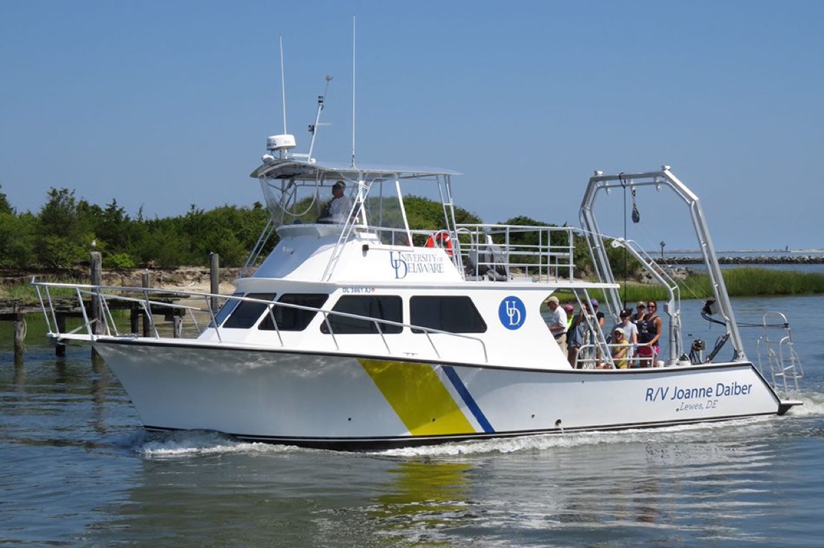
R/V Joanne Daiber
University of Delaware · coastal research vessel · homeport Lewes, DE
- Length46 ft
- DeliveredJune 2014
- RoleCoastal / unmanned-vehicle platform
- MMSI338169577
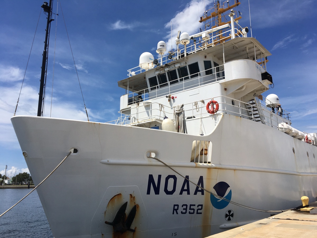
NOAA Ship Nancy Foster
NOAA Office of Marine & Aviation Operations · oceanographic research ship · homeport Charleston, SC
- Length187 ft (57 m)
- Commissioned2004 (hull R352)
- RoleMapping · fisheries · oceanography
- MMSI369912000
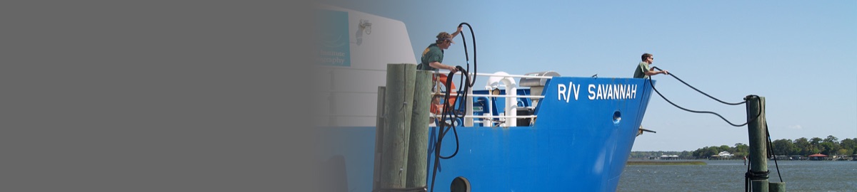
R/V Savannah
UGA Skidaway Institute of Oceanography · UNOLS coastal research vessel · homeport Savannah, GA
- Length92–104 ft
- Builder / YearWashburn & Doughty · 2001
- PowerTwin 470 HP Caterpillar C18
- MMSI303117000
Delivery-Receipt / Acknowledgement Range
Each row records a confirmed receipt: a vessel received the shore AtoN broadcast and its acknowledgement / position was received back at a StationKeeper station. Range is the vessel-to-station distance at the moment of receipt.
| Vessel | MMSI | Receiving station | Receipt (UTC) | Pos gap | Range (nm) | SOG (kn) |
|---|---|---|---|---|---|---|
| R/V Sharp | 367063060 | MERR Institute, Lewes DE | 07-01 19:59:27 | 30 s | 0.13 | 0.1 |
| R/V Palmetto | 338004751 | Sullivan's Island SC | 07-01 19:42:47–19:43:00 (×3) | 49–61 s | 2.28 | 0.1 |
| R/V Joanne Daiber | 338169577 | — | 07-01 | 0 s | 3.63 | 0.6 |
| NOAA Ship Nancy Foster | 369912000 | — | 07-01 | 2 s | 5.59 | 7.7 |
| R/V Savannah | 303117000 | Wassaw NWR GA | 07-01 16:06:23 | 1 s | 14.62 | 9.0 |
| R/V Savannah | 303117000 | Tybee Island GA | 07-01 16:06:28 / 16:20:53 / 16:20:59 | 0–2 s | 14.26 → 15.85 | ~9 |
Pos gap — interval between the vessel's transmitted AIS position and the receipt (position freshness; smaller is tighter). Range/arrow notations reproduced from the corrected range-test log; the arrow (→) and hyphen ranges denote values across multiple receipts. Receipt times are UTC.
Two-Way Exchange — R/V Savannah & TS State of Maine
Beyond one-way delivery, StationKeeper demonstrated full round-trip messaging. The R/V Savannah was messaged on July 1, 2026; the vessel's officer saw the message and sent back an AIS Message 12 "ACK.", which was captured by both the Tybee Island Lighthouse and Wassaw Island StationKeeper stations — a complete shore-to-ship and ship-to-shore exchange.
Over the same period, Navesink (Twin Lights) Lighthouse transmitted an AIS message received aboard the training ship TS State of Maine in New York Harbor, with the vessel's acknowledgement received back at the lighthouse.
References
Full testing report (PDF) — StationKeeper AIS Messaging Tests: Delivery-Receipt Range Results →
Companion report — TS State of Maine Two-Way AIS Exchange →
Companion report — UNH Research Vessel AIS Message Testing →
NOAA Fisheries — Messaging Mariners in Real Time →